GeoTagging Images for SEO: Boost Your Local Search Rankings
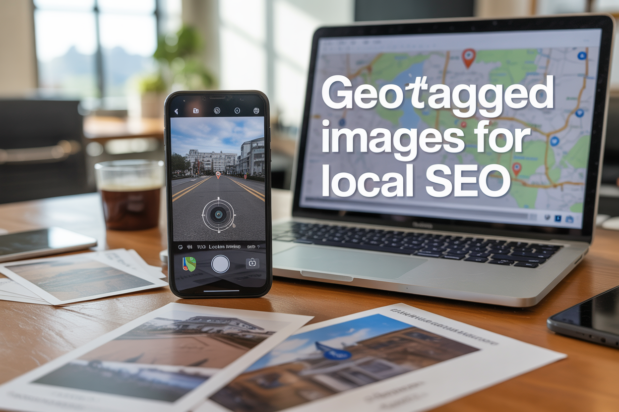
Local business owners, digital marketers, and SEO professionals know that standing out in local search results can make or break their online visibility. GeoTagging images for SEO gives your website a powerful edge by embedding location data directly into your photos, helping search engines connect your content to specific geographic areas.
This guide is designed for business owners who want to improve their local search rankings, marketing professionals managing multiple locations, and SEO specialists looking to add another layer to their optimization strategy.
We’ll walk you through the technical steps for adding geographic data to your images, show you how to implement geotagging strategically for maximum local SEO impact, and share advanced techniques that help you dominate local search results. You’ll also learn how to measure your success and avoid the common mistakes that can hurt your rankings.
Ready to give your local SEO the boost it deserves? Let’s dive into how geo-tagged images can transform your search visibility.
Understanding GeoTagged Images and Their SEO Power
What Are GeoTagged Images and How They Work
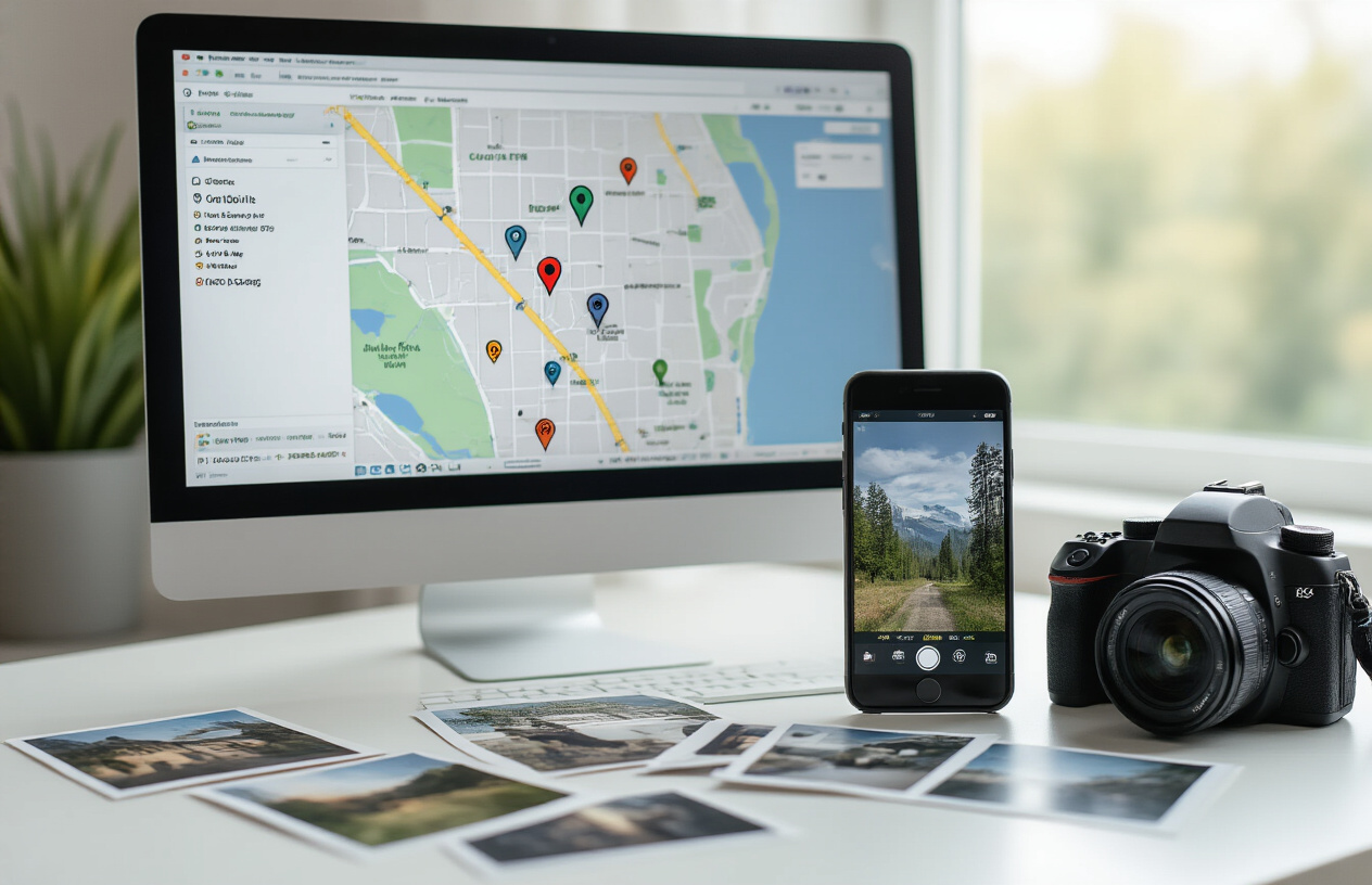
Geo-tagged images are digital photographs that contain embedded location data, specifically GPS coordinates that pinpoint exactly where the picture was taken. When you snap a photo with your smartphone or camera that has location services enabled, the device automatically records the latitude and longitude coordinates and embeds this information into the image’s EXIF (Exchangeable Image File Format) metadata.
This geotagging process creates invisible data layers within your images that search engines can read and interpret. The metadata includes not just GPS coordinates, but also timestamps, camera settings, and other technical details. When you upload these geo-tagged pictures to your website, Google and other search engines can extract this location information to better understand the geographic relevance of your content.
Modern smartphones make geotagging seamless – most devices automatically add location data to photos when camera location services are turned on. For businesses, this means every image taken at their physical location becomes a potential SEO asset. Professional photographers and marketers can also manually add geotags to existing images using specialized software or online tools.
The beauty of geotagging for SEO lies in its simplicity. You’re essentially telling search engines “this content is directly connected to this specific place” without writing a single word. This silent communication helps search algorithms connect your visual content with local search queries and geographic intent.
Why Search Engines Prioritize Location-Based Visual Content
Search engines have evolved far beyond simple text matching – they now prioritize content that demonstrates clear local relevance and authenticity. Google’s algorithm specifically looks for signals that confirm a business’s genuine connection to its claimed location, and geo-tagged photographs provide exactly this type of verification.
When users search for local services or businesses, search engines want to display results that are genuinely located in or relevant to the searched area. Geo-tagged images serve as digital proof that your content originates from the location you claim to serve. This geographic authenticity becomes a ranking factor that can significantly impact your local search visibility.
The rise of mobile search has amplified this trend. With over 60% of searches now happening on mobile devices, users frequently search for “near me” services while on the go. Search engines recognize that location-based visual content better serves these users’ immediate needs. When your images contain geographic metadata that matches local search queries, you’re more likely to appear in relevant results.
Search algorithms also use geo-tagged images to understand the context and legitimacy of local businesses. A restaurant with dozens of geo-tagged food photos taken at its physical location signals authenticity to search engines, while stock photos without location data provide no geographic relevance signals.
The Connection Between Image Metadata and Local Rankings
Image metadata functions as a direct communication channel between your visual content and search engine algorithms. When you upload geo-tagged images to your website, the embedded GPS coordinates become part of your site’s overall location signals, contributing to your local SEO authority.
Search engines analyze multiple metadata elements within geo-tagged photographs:
- GPS coordinates that verify your business location
- Timestamp data showing when photos were taken
- Camera information that can indicate authentic, original content
- File names and alt text that reinforce local keywords
This metadata works alongside other local SEO factors like Google My Business listings, local citations, and customer reviews to build a comprehensive picture of your geographic relevance. The more consistent location signals you provide across all these elements, the stronger your local search authority becomes.
Recent algorithm updates have placed increased emphasis on Experience, Expertise, Authoritativeness, and Trustworthiness (E-E-A-T), and geo-tagged images contribute to multiple aspects of this framework. They demonstrate experience by showing real locations, build authority through authentic local content, and establish trust by providing verifiable geographic proof.
The technical connection works through schema markup and structured data as well. When search engines crawl your site and discover geo-tagged images, they can automatically extract location information and incorporate it into rich snippets, knowledge panels, and local search results. This automated process means your visual content can influence your search presence even without manual optimization efforts.
Essential Technical Steps for Adding Geographic Data to Images

Using EXIF Data to Embed Location Coordinates
EXIF data acts as the hidden backbone of photo geotagging, storing precise GPS coordinates directly within your image files. When you embed latitude and longitude coordinates into EXIF data, search engines can instantly understand where your photos were taken, making your content more relevant for local search queries.
Most modern cameras and smartphones automatically capture GPS coordinates when location services are enabled. However, manually adding or verifying this data ensures accuracy for your geotagging SEO strategy. The GPS coordinates within EXIF data follow a specific format that includes degrees, minutes, and seconds for both latitude and longitude measurements.
Professional photographers and digital marketers often verify EXIF location data before uploading images to their websites. This step prevents inconsistencies that could confuse search engines about your business location or service areas. Remember that search engines read this embedded geographic information to match your content with location-based search queries.
Selecting the Right Geotagging Tools and Software
Choosing effective geotagging tools streamlines your workflow while ensuring consistent geographic metadata across all your geo-tagged images. Desktop applications like Adobe Lightroom, Photo Mechanic, and GeoSetter offer robust features for batch processing multiple images with location data.
Popular Geotagging Software Options:
| Tool | Best For | Key Features |
|---|---|---|
| Adobe Lightroom | Professional workflows | Batch processing, map integration |
| GeoSetter | Windows users | Free, drag-and-drop interface |
| HoudahGeo | Mac users | GPX track integration |
| Photo Mechanic | Speed-focused editing | Fast metadata editing |
Mobile apps like GPS4Cam and Geotag Photos Pro provide on-the-go solutions for adding location data to photos captured without GPS information. These tools prove especially valuable when working with older images or photos from cameras without built-in GPS capabilities.
Cloud-based solutions such as Google Photos automatically geotag images when location services are active, but manual tools give you greater control over specific coordinates and geographic precision for your SEO geotag strategy.
Optimizing Image File Names with Location Keywords
Strategic file naming creates an additional layer of geographic context that strengthens your geotagging for SEO efforts. Instead of generic names like “IMG_1234.jpg,” descriptive filenames such as “downtown-chicago-restaurant-exterior.jpg” immediately communicate location relevance to search engines.
Effective geo-tagged image file names should include your target location keywords while maintaining readability. Combine your business type, specific neighborhood or landmark, and descriptive terms to create comprehensive file names. For example, “brooklyn-bridge-wedding-photographer-portfolio.jpg” targets multiple location-based search terms.
File Naming Best Practices:
- Replace spaces with hyphens for SEO-friendly URLs
- Include primary location keywords near the beginning
- Add specific neighborhood or landmark references
- Keep names descriptive but concise
- Avoid special characters or excessive keyword stuffing
Consider creating a consistent naming convention across all your geo-tagged pictures to maintain organization and SEO consistency. This approach helps search engines understand your geographic focus while making file management more efficient for your team.
Adding Alt Text That Includes Geographic Information
Alt text provides crucial context for search engines and accessibility tools, making geographic descriptions essential for maximizing your geo-tagged photo SEO impact. Well-crafted alt text should naturally incorporate location information while accurately describing the image content.
Effective geographic alt text balances location keywords with descriptive image details. Instead of “restaurant interior,” use “cozy italian restaurant interior in little italy manhattan” to provide specific geographic context. This approach helps your images appear in both general and location-specific image searches.
Geographic Alt Text Structure:
- Start with primary image subject
- Include specific location details
- Add relevant business or landmark names
- Keep descriptions natural and readable
- Limit to 125 characters when possible
Search engines use alt text to understand image context, especially when EXIF data might be stripped during upload or processing. Combining detailed alt text with embedded GPS coordinates creates multiple signals that reinforce your local SEO targeting. This dual approach ensures your geo tag SEO strategy remains effective even when technical metadata faces limitations on certain platforms or content management systems.
Strategic Implementation for Maximum Local SEO Impact

Choosing High-Value Locations to Tag in Your Images
When geotagging images for SEO, the locations you choose make all the difference between effective local search optimization and wasted effort. Start by identifying your primary business location – this should be your most frequently tagged spot, appearing in at least 60% of your geo-tagged images. Your main storefront, office, or service headquarters acts as your digital anchor point for local search algorithms.
Beyond your primary location, consider tagging images at key landmarks near your business. If you’re a restaurant two blocks from the city hall or a popular park, geotag images at these recognizable spots. Search engines associate businesses with nearby landmarks, and customers often search using phrases like “restaurants near Central Park” or “services downtown.”
Transportation hubs deserve special attention in your geotagging SEO strategy. Airports, train stations, major bus stops, and highway intersections generate significant local search volume. A hotel might tag images near the airport shuttle stop, while a repair shop could focus on major highway exits where travelers might need emergency services.
Don’t overlook neighborhood boundaries and districts. Many customers search by area names rather than specific addresses. Tag images throughout different neighborhoods you serve, especially in areas with distinct identities or reputations. This approach helps your geo-tagged images appear in searches for specific districts or communities.
Consider seasonal and event-based locations too. If your city hosts annual festivals, sports events, or seasonal markets, geotag photo content at these venues. While these locations might not drive year-round traffic, they can provide significant SEO boosts during peak seasons.
Aligning Geotagged Visuals with Your Business Service Areas
Your geo-tagged pictures should create a digital map of your actual service territory. Map out your service areas first, then systematically create visual content for each zone. This strategic approach ensures your seo geotag efforts match real business operations rather than random geographic scattering.
For service-based businesses, tag images at customer locations (with permission) throughout your coverage area. A plumbing company might photograph completed projects in different neighborhoods, while a landscaping business could showcase work across various suburbs. These geo-tagged photographs demonstrate active service in specific areas while building location-specific search presence.
Multi-location businesses need coordinated geo tag for seo strategies. Each location should have its own set of geo-tagged visuals, but maintain consistent branding and quality standards. A coffee chain with five locations should ensure each store has unique geo-tagged content while supporting the overall brand presence.
Consider travel patterns and commuter routes when planning your geotagging for seo efforts. Many customers search while commuting or traveling between familiar locations. Tag images along major commuter routes, near transportation stops, and at locations where your target customers spend time during their daily routines.
Service area boundaries matter more than you might think. Avoid tagging images significantly outside your actual service area, as this can confuse search algorithms and potentially disappoint customers who discover they’re outside your coverage zone. Keep your geo-tagged image strategy honest and aligned with real business capabilities.
Creating Location-Specific Image Libraries for Different Markets
Building comprehensive geotag images libraries for each market requires systematic organization and consistent execution. Create separate folders or categories for each geographic market you serve, ensuring easy management and deployment of location-specific visual content.
Develop market-specific themes that resonate with local audiences. Urban markets might respond to modern, fast-paced imagery, while suburban areas could prefer family-oriented, community-focused visuals. Rural markets often appreciate traditional, established business imagery. Your geo-tagged photo content should reflect these local preferences while maintaining brand consistency.
Seasonal considerations play crucial roles in location-specific libraries. Beach communities need summer-focused imagery, while mountain towns require winter and outdoor recreation content. Build your photo geotags strategy around local seasons, events, and cultural patterns. This approach ensures your visual content stays relevant throughout the year.
Quality control becomes critical when managing multiple location libraries. Establish standards for image resolution, composition, and jpg geotag technical specifications. Inconsistent quality across different markets can harm overall brand perception and SEO performance.
Update your location-specific libraries regularly. Markets evolve, new developments appear, and local preferences change. Schedule quarterly reviews of each market’s geotag image collection, removing outdated content and adding fresh visuals that reflect current local conditions.
Consider user-generated content opportunities within each market. Encourage customers to share geotag photo content from your various locations, then curate the best submissions for your official libraries. This strategy provides authentic local content while building community engagement across all your markets.
Advanced Optimization Techniques for Local Search Visibility

Combining Geotagged Images with Google My Business Listings
Your Google My Business listing becomes significantly more powerful when you upload geo-tagged images directly to the platform. Google recognizes the location data embedded in these photos and uses this information to strengthen your local search signals. When customers upload geo-tagged photos of your business, Google treats these as authentic location verification signals.
The key is consistency – make sure your geotagged images reflect the exact coordinates of your GMB listing. Upload photos of your storefront, interior spaces, products, and team members all with matching location data. This creates a comprehensive geographic footprint that Google can confidently associate with your business location.
Consider creating different categories of geotagged photos for your GMB profile:
- Exterior shots with precise GPS coordinates
- Interior photos showing your workspace or retail environment
- Product images taken at your location
- Behind-the-scenes content featuring your team at work
- Event photos from location-based activities
Google often prioritizes businesses with rich, location-verified photo content in local search results. Users are also more likely to visit businesses that showcase authentic, location-specific imagery.
Leveraging Schema Markup to Enhance Image Location Data
Schema markup acts as a translator between your geotagged images and search engines, providing structured data that makes location information crystal clear. The ImageObject schema combined with Place schema creates a powerful combination for local SEO.
When implementing schema markup for geo-tagged pictures, include properties like contentLocation, locationCreated, and geo coordinates. This structured data helps search engines understand not just that an image has location data, but exactly what that location represents in relation to your business.
Here’s what your schema implementation should include:
| Schema Property | Purpose | Example Value |
|---|---|---|
| contentLocation | Where image content is located | “123 Main St, City, State” |
| locationCreated | Where photo was taken | GPS coordinates |
| geo.latitude | Precise latitude | 40.7128 |
| geo.longitude | Precise longitude | -74.0060 |
The structured data helps search engines confidently connect your visual content with specific geographic locations, improving your chances of appearing in location-based image searches and local pack results.
Building Location-Based Image Sitemaps for Better Crawling
Image sitemaps specifically designed for geotagged content help search engines discover and index your location-rich photos more effectively. These specialized sitemaps should include geographic metadata alongside standard image information.
Create dedicated sections in your image sitemap for different location-based content categories. Group images by geographic relevance – photos from your main location, branch offices, service areas, or event locations. This organization helps search engines understand your geographic footprint more completely.
Your location-based image sitemap should include:
- Image URLs with descriptive, location-rich file names
- Geographic coordinates for each image
- Location descriptions using natural language
- Business category tags relevant to local search
- Last modified dates to help with freshness signals
Submit these sitemaps through Google Search Console and monitor crawling patterns. Images with clear geographic signals typically get indexed faster and appear more frequently in location-based searches.
Integrating Geotagged Photos Across Social Media Platforms
Social media platforms offer massive opportunities to amplify your geotagged image SEO efforts. Each platform handles location data differently, but they all contribute valuable signals back to your main website and local search presence.
Instagram and Facebook automatically preserve EXIF data from uploaded photos, including GPS coordinates. When users share your geotagged content or tag your location, these platforms create additional location signals that search engines can discover and attribute to your business.
LinkedIn handles business photos with location data particularly well for B2B companies. Geotagged photos of your office, team events, or client meetings help establish your physical presence in local business communities.
Twitter’s geotagging features work best when combined with location-specific hashtags and mentions. Photos tagged with neighborhood names, city hashtags, and local business mentions create powerful local SEO signals.
Cross-platform consistency remains crucial. Use the same location coordinates across all platforms and maintain consistent business information. When social signals align with your website’s geotagged images, search engines gain confidence in your location authenticity.
Consider creating platform-specific geotagged content strategies. Instagram might focus on behind-the-scenes location content, while LinkedIn could highlight professional events and office spaces. Each platform’s unique audience and features can amplify different aspects of your local presence.
Measuring Success and Avoiding Common Geotagging Mistakes
Tracking Local Search Performance Through Analytics
Measuring your geotagging seo success requires careful monitoring of local search metrics across multiple platforms. Google Analytics provides valuable insights into how geo-tagged images boost your local visibility. Set up location-based filters to track organic traffic from specific geographic areas where your geo-tagged pictures appear in search results.
Google Search Console offers detailed data about image search performance. Check which geo tag keywords drive traffic to your images and monitor click-through rates from local searches. The “Performance” tab reveals how your geotagging for seo efforts translate into actual visibility.
Local ranking tools like BrightLocal or Moz Local help track your business’s position in local search results. Monitor improvements in map pack rankings after implementing consistent geotagging practices. These tools show how geo-tagged photographs contribute to better local search positioning.
| Metric | Tool | What to Track |
|---|---|---|
| Local Traffic | Google Analytics | Geographic segments, conversion rates |
| Image Performance | Search Console | Impressions, clicks, CTR for geo-tagged photos |
| Ranking Position | Local SEO tools | Map pack visibility, local keyword rankings |
Social media analytics reveal how geo-tagged image engagement varies by location. Instagram and Facebook insights show which geographic areas generate the most interaction with your location-tagged content.
Preventing Privacy Issues and Over-Tagging Problems
Privacy concerns around geotagging images can create significant problems if not handled properly. Remove personal location data from customer photos before sharing them on business platforms. Many smartphones automatically embed GPS coordinates in images, which can expose private addresses when photos are shared online.
Over-tagging represents another common mistake that damages seo geo targeting effectiveness. Adding location data to every single image dilutes the relevance signals search engines rely on. Focus your geo tag in seo efforts on images that genuinely relate to specific locations – storefront photos, local event images, and regional product shots.
Avoid geotagging generic stock photos with your business location. Search engines detect this inconsistency and may penalize your local search rankings. Only apply geotags to authentic images taken at the specified locations.
Consider these privacy protection strategies:
- Use photo editing software to strip EXIF data from customer-submitted images
- Create separate image versions for public sharing without personal geotag location information
- Train staff on proper geo tagging seo practices for social media posts
- Implement image processing workflows that automatically remove sensitive location data
Balance transparency with privacy by geotagging business-related images while protecting customer and employee location information.
Maintaining Consistent Location Data Across All Platforms
Consistency in location data creates stronger local search signals for your geo-tagged pictures. Use identical coordinates, business names, and address formats across your website, social media profiles, and image metadata. Inconsistent information confuses search engines and weakens your local SEO performance.
Establish a standardized process for how to add a geotag to a photo across different platforms. Create a master document with exact GPS coordinates for all business locations. This ensures every team member applies the same geotag information when uploading images.
Google My Business listings should perfectly match the location data embedded in your geo-tagged image files. Discrepancies between your GMB profile and image metadata can hurt local search rankings. Regular audits help maintain this alignment.
Different platforms handle geotagging differently, but maintain consistency in the core location information:
Platform-Specific Considerations:
- Website images: Embed GPS coordinates in EXIF data plus structured data markup
- Social media: Use platform native location tagging features consistently
- Directory listings: Match exact coordinates and business names across all sites
- Email marketing: Include location-consistent images in local campaigns
Use tools like Google Earth or GPS coordinate websites to verify exact coordinates for each business location. This precision helps search engines associate your images with specific geographic areas more effectively.
Regular monitoring prevents location data drift that occurs when different team members use slightly different address formats or coordinates. Set up monthly reviews to check that all geo-tagged photographs maintain consistent location information across platforms.
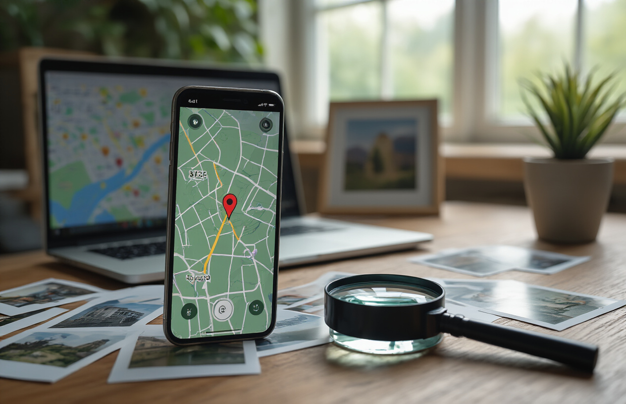
Adding geographic data to your images isn’t just a technical trick – it’s a game-changer for local businesses wanting to show up in search results. GeoTagged images help search engines understand exactly where your business operates, making it easier for nearby customers to find you. When you embed location data correctly and implement strategic optimization techniques, you’re giving your local SEO efforts a significant boost that many competitors overlook.
Don’t let technical hurdles stop you from taking advantage of this powerful optimization strategy. Start by geotagging a few key images on your website, test different approaches, and track how they perform in local search results. The combination of proper technical implementation and smart measurement will help you avoid common mistakes while maximizing your visibility in local searches. Your local customers are searching for businesses like yours right now – make sure your geotagged images help them find you first.
FAQs
What are geotagged images and how do they work?
Geotagged images are photos that have location data built right into the file. When you take a picture with your phone or camera, it can automatically record where you were when the photo was taken. This location information gets stored in the image file as GPS coordinates, showing the exact latitude and longitude of where the picture was captured.
Why should I add location data to my business images?
Adding location data to your images helps search engines understand where your business is located. When someone searches for services in your area, these geotagged photos can help your website show up in local search results. It’s like giving search engines a map to find your business more easily.
How do geotagged images help my website rank better locally?
Search engines like Google look at all the signals that tell them about your business location. Geotagged images act as another piece of proof that your business actually exists in a specific place. When you have multiple images with consistent location data, it strengthens your local presence and can help you appear higher in “near me” searches.
What’s the easiest way to add location information to my photos?
The simplest method is to turn on location services when taking photos with your smartphone. Most phones automatically add GPS data to pictures when this feature is enabled. You can also use photo editing software or online tools to add location data to existing images that don’t have it.
Can I add location data to old photos that don’t have it?
Yes, you can add GPS coordinates to photos after they’ve been taken. There are several free online tools and software programs that let you edit the location data in image files. You just need to know the address or coordinates of where you want the photo to appear as if it was taken.
Should all my business images have the same location tag?
For most local businesses, yes. If you have one main location, all your business photos should have GPS coordinates pointing to that address. However, if you’re a service business that works in multiple areas, you might want to geotag images to show the different neighborhoods or cities you serve.
Do geotagged images actually show up in Google searches?
Geotagged images can appear in Google Images search results, especially when people search for location-specific terms. While the GPS data itself isn’t visible to users, it helps Google understand what the image is about and where it’s relevant. This can lead to more visibility in local image searches.
Are there any privacy concerns with geotagged photos?
Yes, there can be privacy issues. If you share personal photos with location data online, it could reveal information about where you live or spend time. For business use, this usually isn’t a problem since you want people to know your business location. Just be careful not to include location data on personal photos you share publicly.
What image formats support location data?
Most common image formats like JPEG support location data through something called EXIF data. This is where the GPS coordinates get stored. Other formats like PNG and TIFF can also hold location information. When you save or export images, make sure to keep this data intact.
How can I check if my images already have location data?
You can check this in several ways. On a computer, right-click the image file and look at the properties or details. Many photo editing programs also show this information. There are also free online tools where you can upload an image to see all the data stored in it, including any GPS coordinates.